In Tuscany the road is not how you get somewhere. It is the somewhere. You understand the difference at the first bend of the Chiantigiana, when the pavement stops running straight and starts following the ridge, and you confirm it a hundred and twenty miles later on the last switchback down to Sant'Antimo. The landscape does not accompany the drive here: it dictates it.
What follows is not one itinerary but six distinct routes with different characters. Some are wide regional roads, others are narrow provincial ones that disappear into the woods, and one is a five-kilometer straight avenue. Stringing them all together in a single day makes no sense: each asks for its own time and, more than anything, its own light.
The Chiantigiana, road SR222
This is the one everyone names, and for once the reputation is earned. The SR222 links Florence to Siena in about seventy kilometers — forty-three miles — but it spends them crossing the whole of Chianti Classico rather than going around it. There is no straight worth the name: it climbs and drops along the ridges, changes aspect constantly, alternates holm-oak woods with open vineyards. Driving it in a hurry is possible and entirely pointless.
You leave Florence and climb through Grassina and Strada in Chianti; the landscape turns serious after Greve. From there to Castellina is the best stretch, with the most continuous curves and the longest views. The final run into Siena opens out and softens, preparing you for the city.
Greve in Chianti
Piazza Matteotti is not a square but a funnel, its arcades irregular because different owners built them in different centuries. It is the shape of an old marketplace rather than of a plan. Half an hour from Florence, it is the right place for a first stop.
Panzano and the Conca d'Oro
The village sits on a knoll above a natural amphitheater of vineyards the growers call the Conca d'Oro, the golden basin. Panzano is also famous for its butchers, a local trade that has turned into a destination of its own.
Castellina in Chianti
Inside the walls runs the Via delle Volte, a covered medieval walkway that followed the defensive perimeter. Today it is a stone gallery with windows opening onto the valley.
Fonterutoli
A tiny hamlet just before Siena, tied to the Mazzei family for centuries. The first written mention of Chianti as a wine dates to 1398, in a letter by the notary Ser Lapo Mazzei: the name of the area predates the modern appellation by nearly six hundred years.
Gaiole, Brolio and the white roads
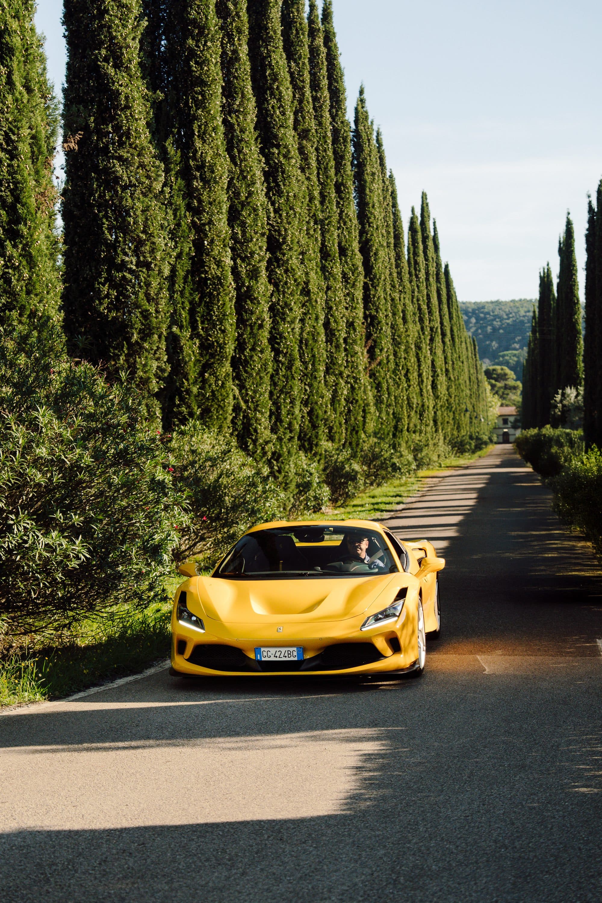
East of the Chiantigiana the network gets narrower and more interesting. The provincial roads around Gaiole in Chianti climb through woods with blind corners and uneven surfaces. You go slowly because you have to, and it is the kind of driving that rewards an old car more than a fast one.
The landmark is the Castello di Brolio, which owes its neo-Gothic look to Bettino Ricasoli in the nineteenth century. Ricasoli — the Iron Baron, the second prime minister of the Kingdom of Italy — set down the formula for Chianti in 1872: sangiovese with canaiolo and a share of malvasia. Everything poured in this area today descends from that letter.
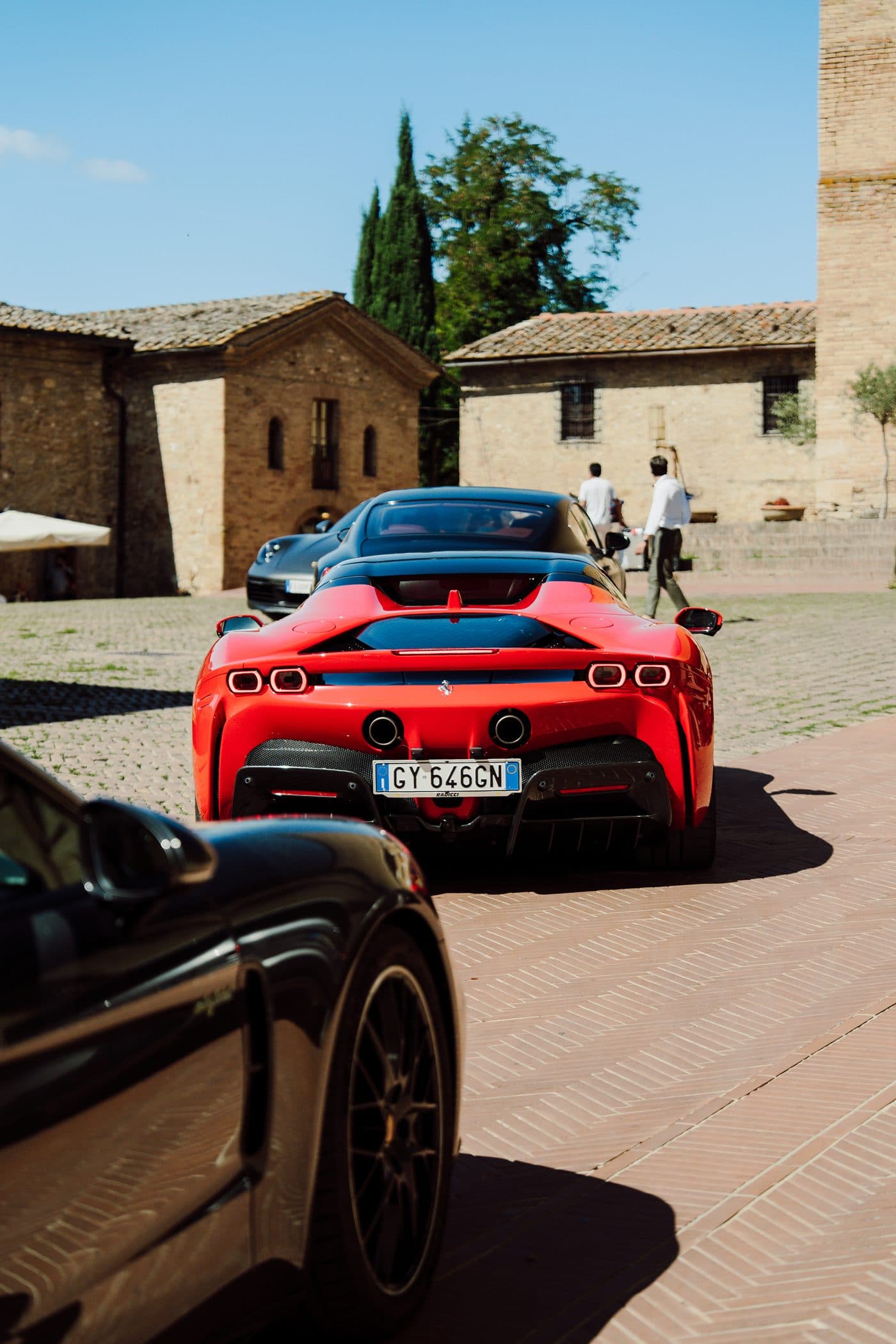
Around Gaiole runs the network of strade bianche, the white gravel roads that have hosted L'Eroica since 1997 and made the surface famous. You can drive them, but gravel is unforgiving: in a low-slung car, stay on the asphalt.
The Lauretana and the Crete Senesi
Road SP438 leaves Siena heading east and changes worlds in ten minutes. The woods vanish and what remains is bare clay hills, sculpted into the domes and gullies geologists call biancane and calanchi, shifting color with the season: green in April, yellow by June, brown and glossy after the autumn plowing. The road is called the Lauretana because it carried pilgrims toward Loreto. It is wide, sinuous and enormously open — probably the finest drive in the province.
Halfway along, a turn south leads to the abbey of Monte Oliveto Maggiore, founded in 1313 and set in a cypress wood the monks planted to hold the clay against erosion. The great cloister is frescoed with the life of Saint Benedict by Luca Signorelli and by Antonio Bazzi, known as Il Sodoma. It is one of the most complete Renaissance cycles in Tuscany, and almost nobody goes.
The Val d'Orcia: the Cassia and the SP146
The Val d'Orcia has been a UNESCO World Heritage Site since 2004, and the listing covers precisely what you see through the window: an agricultural landscape laid out in the fourteenth century and still legible. Its spine is road SR2, the Cassia, the Roman consular route running down toward Rome. The stretch that matters runs from San Quirico d'Orcia to Radicofani.
The images everyone carries in their head sit within a few kilometers of each other: the cluster of cypresses on a rise beside the Cassia just north of San Quirico, the isolated farmhouse visible from the same road looking east, the driveways climbing to the ridge houses. They have been photographed a million times and are still remarkable — provided you arrive with low light.
Road SP146 from San Quirico to Pienza and on to Montepulciano is the high variant, narrower and more curved. Pienza is worth the stop: in 1459 Pope Pius II commissioned Bernardo Rossellino to rebuild his birthplace, Corsignano, as an ideal Renaissance city. The result was finished in three years and became a World Heritage Site in 1996. A little to the south, at Bagno Vignoni, the village square is not a square at all but a sixteenth-century thermal pool.
From Montalcino to Sant'Antimo
From Montalcino the road drops south through the Brunello vineyards and arrives, after some six miles of curves, at the abbey of Sant'Antimo. It is a twelfth-century Romanesque church built of travertine and alabaster, alone at the end of an olive valley: in the afternoon sun the stone goes nearly translucent.
It is a short stretch and worth driving in both directions. Going down, you watch the abbey appear at the bottom of the valley; coming back up, Montalcino returns to the top of its hill with the fortress in plain view.
The cypress avenue at Bolgheri
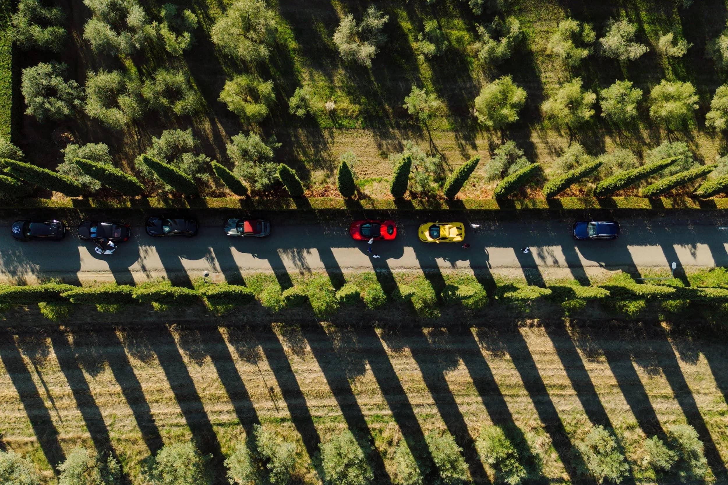
The last route is the opposite of every other one: five kilometers dead straight, from the Oratorio di San Guido to the village of Bolgheri, lined with roughly two thousand five hundred cypresses. It is the avenue Giosuè Carducci put into verse in Davanti San Guido, and driving it feels less like driving than like entering a nave.
Bolgheri is also where modern Tuscan wine began: in the 1940s Mario Incisa della Rocchetta planted cabernet in an area nobody rated, and that experiment produced Sassicaia, whose first commercial vintage was 1968. The coast is minutes away and the contrast with the interior is total — umbrella pines, salt air and flat roads.
When to come, and what to know first
The best seasons are spring and early fall. From mid-April to June the landscape is green and the light lasts; between September and October the hills turn gold and the wineries are in harvest. Inland summer is hot and midday light flattens everything, so drive early or after five. Winter has less color but empty roads and a raking light across the clay hills that is worth the cold.
Three practical warnings. Almost every Tuscan historic center is a limited-traffic zone with camera-controlled gates operating year round: park outside the walls and walk in. Many provincial roads are narrow and have no shoulder, with dry-stone walls flush against the pavement. And the surface changes often — a regional road and a gravel one can be three hundred meters apart, so it pays to know where you are heading.
How to string them together
One day is enough for the Chiantigiana with a detour to Brolio, or for the Siena–Crete–Val d'Orcia loop. Two days let you do both without rushing. Bolgheri sits on a different axis, toward the sea, and belongs in a route that descends from Chianti to the coast.
Frequently asked questions
What is the best driving road in Tuscany?
The SR222 Chiantigiana, between Florence and Siena: seventy kilometers crossing the whole of Chianti Classico along the ridges, without a straight worth the name. For long sightlines, the SP438 Lauretana toward the Crete Senesi.
How many days do you need to drive them?
One day is enough for the Chiantigiana with a detour to Brolio, or for the Siena–Crete–Val d'Orcia loop. Two days let you do both without rushing. Bolgheri sits on a different axis, toward the sea.
Can you drive the white gravel roads of Chianti?
Yes, but carefully: gravel is unforgiving, and in a low-slung car you should stay on the asphalt. These are the same roads that have hosted L'Eroica since 1997.
When is the best time of year to drive them?
Spring and early fall: from mid-April to June the landscape is green and the light lasts, and between September and October the hills turn gold. In summer, drive early in the morning or after five, because midday light flattens everything.
Can you drive into the historic town centers?
Almost never. Tuscan historic centers are limited-traffic zones with camera-controlled gates operating year round. Park outside the walls and walk in.